Thursday 20 December 2012

La Côte Bleue

 Yesterday was another reconnaissance day for our new Calanques de Marseille and Cassis self-guided walking holiday. I walked along the "Côte Bleue", the coastline just to the west of Marseille. The rocky paths  are carved above the waters, hovering above imposing limestone cliffs, and around tortuous rock formations.  


The walk began in the fishing port of Niolon, a small community of modest homes and picturesque little streets, far from the glitz of most Mediterranean towns.


Through the arch of the railway bridge. A scenic train line heads west of Marseille, along the Côte Bleue, stopping at authentic fisherman's villages along the way. Our guests will be staying in the heart of Marseille, and will use the train to reach the beginning of the walk in Niolon; from here the walk heads westward along the coast, and to the next train station.  


The scenic Calanque de l'Erevine, about halfway through the walk, and a great swimming opportunity (a bit cold though in mid-December!).


Reaching the small port community of Méjean, this well-known restaurant makes for a great lunch break.


Beyond Méjean the path becomes more well-trodden, complete with steps carved into the coastline and wooden barriers along the way.


The landscapes too become much different, the pure white limestone giving way to ochre-laced rock formations.


Just a reminder that it's a nude beach...


Thursday 6 December 2012

Les Iles du Frioul

 Yesterday, as part of my reconnaissance work for our new Calanques holiday, I found myself in Marseille. The hotel we've chosen is the one in the photo below -- Le Bellevue -- sitting on a prime piece of harbour real estate... As advertised by the hotel name, the hotel rooms have a beautiful view indeed.  


But my day wasn't spent in Marseille itself, but rather on a set of small islands only 2 nautical miles off the coast: the Frioul islands. This will be the setting for the first walk of the self-guided holiday.


The islands are almost haunting: desert landscapes of bare limestone, with the very few plants that can withstand the parched, salty, and windswept conditions. In fact the only tree I saw (are there others on the island?) was a pine tree, set as a sprawling bush and not higher than 1 meter, making its way horizontally along the ground.


And the sets of dilapidated forts and buildings on the island create the ambiance of a warzone. It was in fact a warzone.  Bombed by the allies at the end of WWII as Marseille was being liberated, the "Hopital Caroline" -- once a highly advanced hospital for treating contagious disease -- is in shambles, and soon to be renovated.  


Peering through a stone gate, the famed Château d'If is framed. Château d'If is set on an island as well, slightly closer to the coastline. The island harbouring the castle does not have a port, just a small quay allowing for passengers to disembark. Yesterday the seas were rough, and there were no stops for the Château d'If...


The port of the Frioul islands has several restaurants to choose from, and here's my grilled tuna steak from yesterday.


The two islands, both only 2.5km long, are separated by the dyke seen below. The village itself seems like a cheap set of lego blocks set in various shades of orange and beige, while the islands' buildings, all in various states of disrepair and with no discernable rules of architecture, are lined in some places with military fences, and off limits.  


But that takes nothing away from the majesty of its coastline, hidden coves, and views of the Mediterranean at large.


Thursday 22 November 2012

Calanques

 I was in the Calanques yesterday: a small range of limestone inlets between Marseille and Cassis. Jagged and stunning. It's the first day of reconnaissance for a self-guided walking tour that Walk Inn will have on its website within the next few weeks.


One of the paths I took, which looks worse than it actually is: up the natural limestone steps. I guess you could call this an easy scramble...


The first Calanque reached: En Vau


The Port-Miou Calanque, closest to Cassis, lined with boats


Arriving by foot in the centre of Cassis. It's quite a beautiful port town: a small pictureque harbour, quiet cafés and restaurants, and just a handful of narrow cobbled streets in the centre:


At dusk just before leaving.


Friday 16 November 2012

"Recyclage"


Every sixth year professional mountain guides need to revalidate their diplomas -- a three day session of first aid, rope work, and everything legal and administrative relating to the profession...

I chose a workshop in Chamonix, along with 24 other peers. In the photo below we visited the mountain rescue team of Chamonix, the revered PGHM squad. These are the guys you don't want to have to call when out with a group...


Chamonix sits in a deeply encased valley just below the 4808m summit of Mont Blanc, pictured below.


Using three backpacks, two walking poles, and one jacket to make a makeshift gurney...


After a lesson about hypothermia...


Some rope-work...


The streets of Chamonix by night, completely deserted during this in-between season, after the summer hiking and before the winter skiing. On one evening I went to see a movie and was the only one in the theater...


Mont Blanc at dusk...


Looking through my photo archives I found some pictures from my initial training, which began in 2004. The coursework begins by a fairly selective entrance exam, involving a strenuous hike, obstacles course, orienteering race, and then an interview. The picture below was taken just after my entrance exam in 2004... Had I taken just 90 seconds longer for the orienteering race I would of had to return the following year...


The coursework takes about two years of intermittent workshops and other practical (and wtitten) components, and then a final exam before getting your national diploma.

The picture below was taken after a winter's orienteering race. It had snowed all night, and trying to descend a steep valley to reach my first marker I got stuck in the snow for quite some time...


Snowshoeing on the freshly fallen snow...


My pal Gustav adding a bit of laughter to a fairly gruelling winter session:


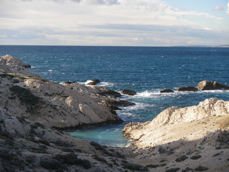
A beautiful winter's scene:


Building an igloo with Audric, one of my classmates:


The most imposing part of our workshop was a two-day trek...


...complete with an overnight in a snowcave we built. It was -20°C outside but inside the cave the temperature always remains at 0°C...


The following morning at sunrise...


With my colleagues at the end of the trek:


Thursday 8 November 2012

brothers climb Ventoux

 What better way to end my brother's visit to Provence than to climb Mont Ventoux by bike? We begin in the village of Sault, some 1200m in altitude below the summit.


The first 20km are relatively easy, first through the lavender fields and then up through the quiet beech forests...


The views get better and better as we climb:


The last 6km are the toughest, with the summit now in sight but seemingly never getting closer. The clear Provençal skies are always a deep blue above the summit, and the conditions are perfect today for the ascent: crisp autumn air and barely any wind:


Michael and I at the top:


Enjoying a break at the summit:


After dozens of ascensions of Mont Ventoux (mostly by foot but 7 by bike), this is the very first time for me that the Mediterranean Sea is in clear view to the south...


...while the Alps -- as usual this time of year -- offer their majestic panorama to the north:


But what better sight than a plate full of fries at the Chalet Reynard?


Nearing the bottom of the descent, with Michael in the lavender fields:


The village of Sault highlighted by the evening sun:


Sunset over the Rhône Valley:


The Dentelles de Montmirail at dusk:


Next time we climb up from Bedoin my brother...